
- Installs
- —
- Apple does not publish download counts
- Rating
- 3.97
- Ratings
- 31
- 31 reviews
- Version
- 1.23.0
- Updated 21 Jun 2026
- Released
- 4 Nov 2019
- Tracked since 10 May 2026
- Size
- 78 MB
- Needs 15.6
Screenshots
About Touch GIS
The description on the store listing
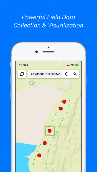
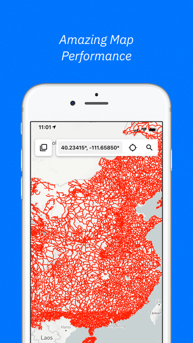
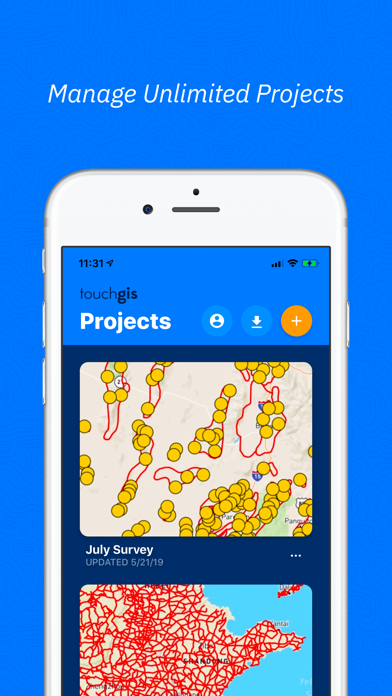
Touch GIS is the most intuitive professional field data collection and mapping tool. It's a super-powered field notebook enabling you to collect any kind of data, in any environment, online or offline, and transfer it easily to your preferred desktop GIS. We believe your data collection tools should amplify your capabilities, not limit them, which is why we focus on keeping your forms and attributes totally customizable in the field.
Join thousands of professionals utilizing Touch GIS as their mobile GIS app to enhance their field work in geologic mapping, ecological mapping, civil engineering, mineral exploration and mining, natural resource management, landscape architecture, and more. …
Read the full description
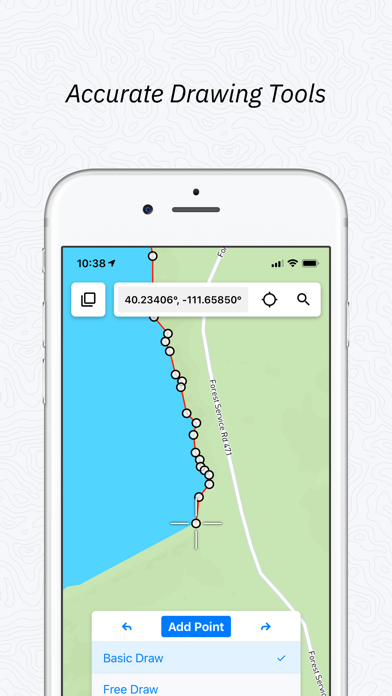
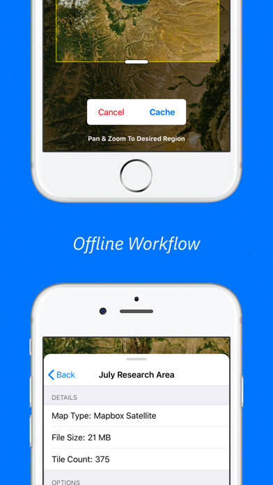
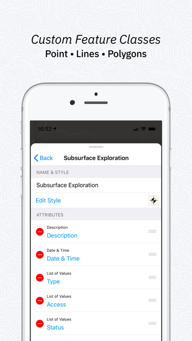
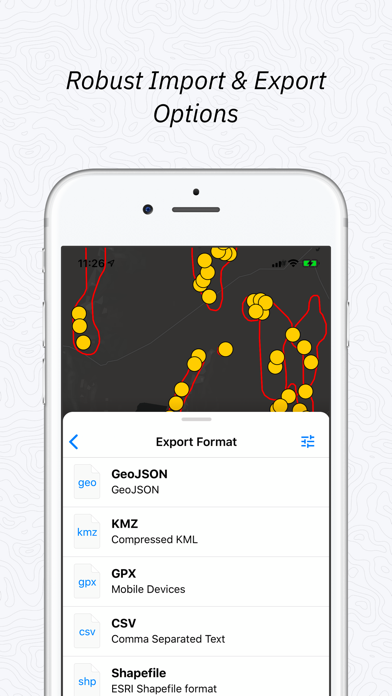
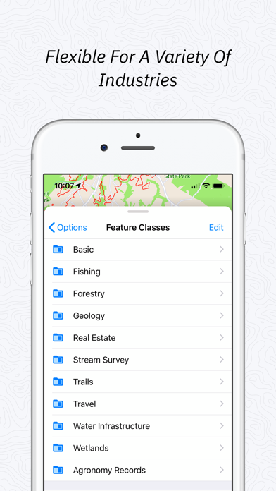
Touch GIS is the most intuitive professional field data collection and mapping tool. It's a super-powered field notebook enabling you to collect any kind of data, in any environment, online or offline, and transfer it easily to your preferred desktop GIS. We believe your data collection tools should amplify your capabilities, not limit them, which is why we focus on keeping your forms and attributes totally customizable in the field. Join thousands of professionals utilizing Touch GIS as their mobile GIS app to enhance their field work in geologic mapping, ecological mapping, civil engineering, mineral exploration and mining, natural resource management, landscape architecture, and more. FEATURES - Easily create new Points, Lines, Polygons, and Circles in the field. - Quick and simple line and polygon drawing with free draw mode and vertex snapping. - Quickly adjust feature class collection and attribute forms in the field at any time - Get multiple perspectives by switching between base maps in the field - Save map tiles for offline use - Export to a variety of industry standard formats - Snap, mark up, and attach photos to locations - Measure planar and linear feature orientation using our clinometer tool with strike/dip, dip/dip direction, or trend/plunge formats. - Add custom base maps with WMS/WMTS - Add Rasters and other overlays to your map - Add team members so your whole team has access FILE TYPES SUPPORTED - Shapefile - KML and KMZ - GeoJSON - GPX - CSV - World File - Geotiff - JPG - PNG - Geospatial PDF - GeoPackage (GPKG) Customizable attribute types: - Description - Date & Time - Photos - List Of Values - Checkbox - Address - Number - Website - Phone Number - Attitude / Orientation - Make your own PRELOADED FEATURE CLASSES - Forestry - Geology - Real Estate - Stream Surveys - Water Infrastructure - Wetlands - Create Your Own! Terms of Service: https://www.touchgis.app/terms-of-service Privacy Policy: https://www.touchgis.app/privacy
Installs
Apple does not publish download counts. Estimates are in testing.
We publish iOS estimates only after they pass a back-test against real numbers. Chart history below is measured.
Estimated store revenue Estimated Beta
App Store, worldwide, monthly rate from the last 13 chart days to 20 Nov 2026
Below the top 100 grossing apps in the markets we calibrate. In the United States that usually means under about $6.4M a month. App Store purchases and subscriptions only, before Apple's 15 to 30% fee. Ads and web payments are not included.
Ratings
31 ratings, 31 reviews
No rating breakdown published for this app.
Recent reviews
Latest public reviews from the store
No reviews in our sample for this app yet.
Top chart positions
Latest App Store chart ranks by country, last 10 days
Not in any tracked top chart in the last 10 days.
Touch GIS history
Release, install milestones, listing and store changes
- First released on the store 4 Nov 2019
Update frequency
How often Touch GIS ships a new version, month by month
3 updates in the last 12 months. More often than most similar apps: they shipped a median of 0 updates in the same year.
Recent versions
Current version 1.23.0
- Version 1.23.021 Jun 2026
Increased the decimal precision of square kilometers and square miles in area calculation, as well as other minor bug fixes and optimizations.
- Version 1.22.017 May 2026
This version expands support for GeoPDFs to handle more coordinate systems and metadata formats.
- Version 1.21.11 May 2026
1.21.1 fixes a couple of bug that caused Geospatial PDF imports to sometimes have transparent backgrounds when they should not.
Listing keywords
Words and phrases Touch GIS repeats most in its store listing
Top phrases: touch gis (3), base maps (2), data collection (2), dip dip (2).
Highlighted words also appear in the title. Counts cover the title, short description and description.
Compliance
What the listing and the app package show
- Store status
- Live
- Upkeep
- Updated 21 Jun 2026
- Age rating
- 4+
Apps like Touch GIS
 Super VPN: Fast Private ProxyGeek Incorporated★ 4.4
 Hubtel RetailerHubtel Limited★ 4.32
 Monthly Calendar 2022 - CalistOmoboto LLC★ 4.38
 Firstly: To-Do List & PlannerfocusCove LLC★ 4.7
 CBUS 311City of Columbus, Ohio★ 1.8
 Themes for Powerpoint - DesiGNGraphic Node★ 4.22
 iSiloDC & Co.★ 3.82
 Flashlight Pro [Multipurpose LED light]KAVAPOINT★ 3.88
 WiPryOscium LLC★ 2.68
Touch GIS: questions and answers
Who makes Touch GIS?
Touch GIS is published by TouchGIS.
When was Touch GIS last updated?
The latest version (1.23.0) was released on 21 Jun 2026.
Is Touch GIS free?
Yes. Touch GIS is free to download.
Is Touch GIS still available?
Yes. Touch GIS is live on App Store as of 1 Jul 2026.
Track Touch GIS and its competitors
Watch any app for new versions, rating drops, chart moves and removals. Free plan, no card.